|
Home |
|
Help |
|
Contact Us |
|
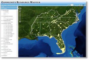
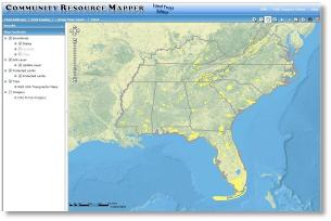
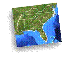
Integrate natural resource protection into your community planning efforts with our free mapping service. This service will allow you to create maps at a county, watershed or state level, showcasing your satellite imagery, impaired streams, impervious surfaces, protected lands, State Wildlife Action Plans, and much more. |


|
The Land Trust Editor edition of the Community Resource Mapper has an easy to use online update feature which allows land trusts to update their protected lands data. This provides a process for tracking the growth of protected lands in a specified region. |
|
(Please allow several seconds for upload) |
|
(Please allow several seconds for upload) |